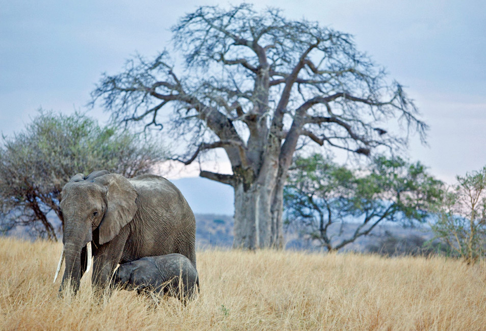
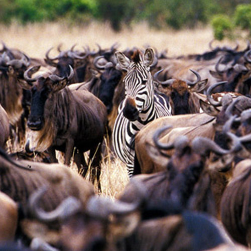
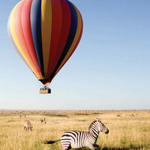
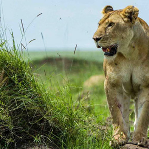
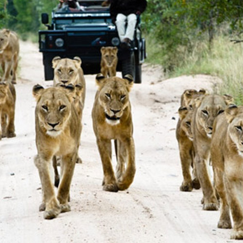
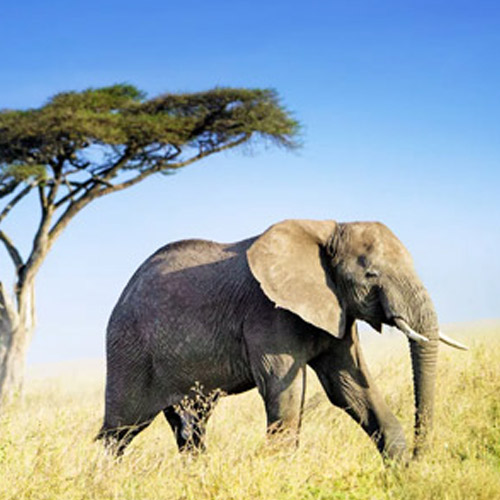
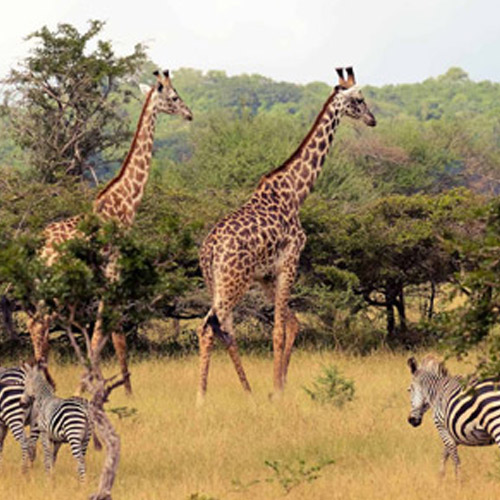
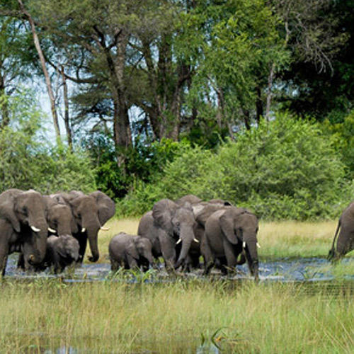
Tanzania embraces many lakes, national parks, savannahs, ocean, and some of the highest volcano mountains of Africa including the highest freestanding mountain in the world. Administratively divided into 30 regions Dodoma is the capital of the country. The mainland of the country is dominated by grasslands, plains, and rolling hills while the Indian Ocean coastline has reserved the major islands of Mafia, Pemba, and Zanzibar.
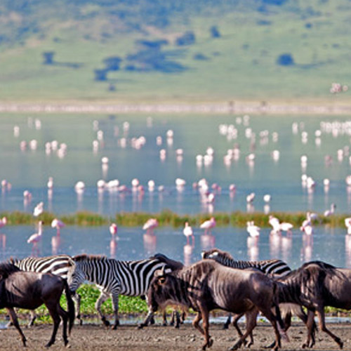
Spreading across 945,087 km² The United Republic of Tanzania is one of the largest countries of East Africa. North-East Tanzania contains a large section of volcanic mountains while the central areas are covered up with large plateau wrapped in grasslands and the southern part of the country showcases the mesmerizing Lake Victoria. The northern border of the country holds Kenya; the land of Lion and Uganda; the pearl of Tanzania.


Customize your Trip with choose a Tailor-Made destination, pick your lodges, and we'll do the rest